

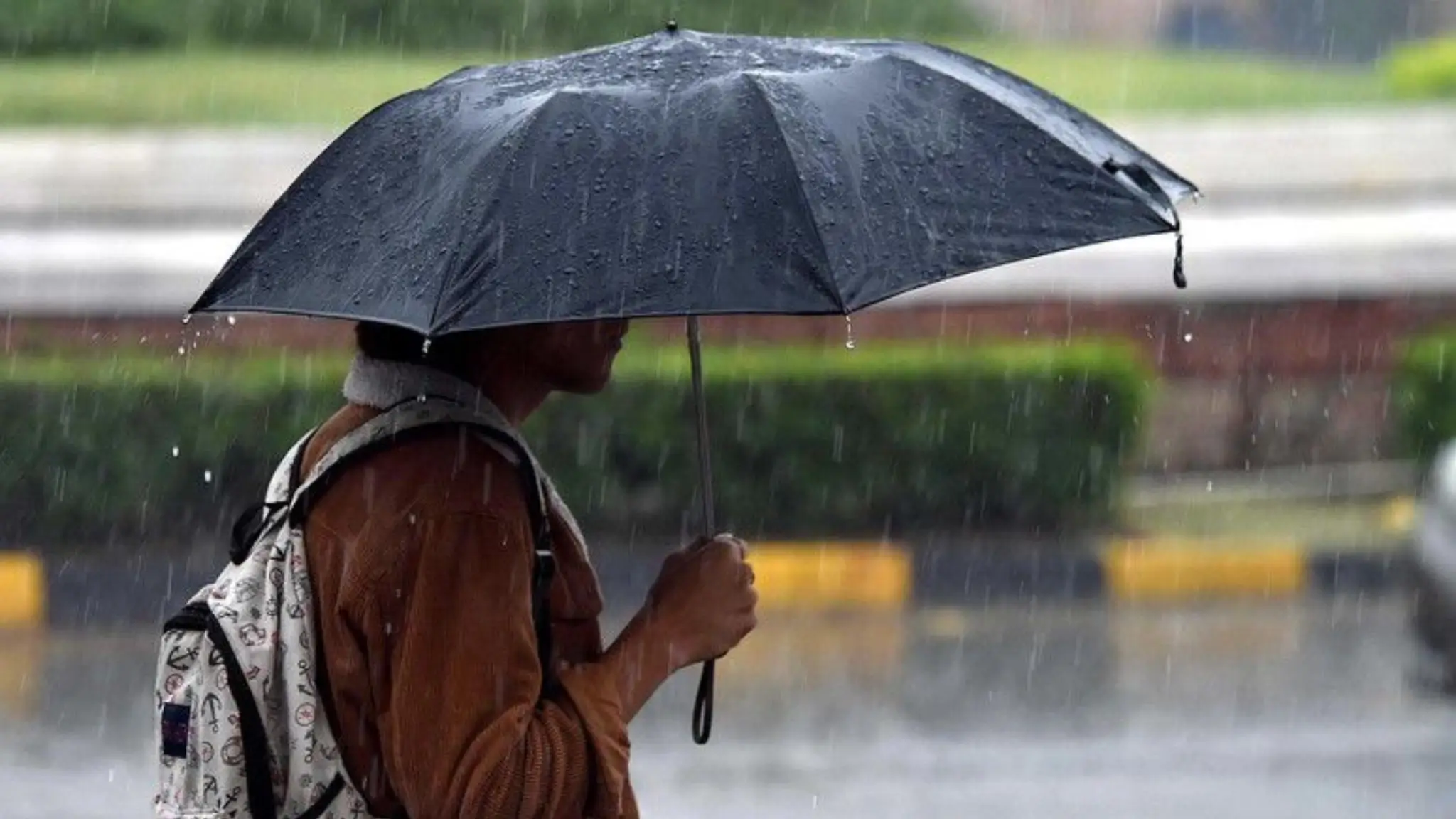
Yellow alert in Sardinia Wednesday, September 23
Bad weather returns to part of Sardinia. The regional Civil Protection has issued a yellow alert for hydrogeological risk valid for the day of Wednesday, September 23, 2026, in the time slot between 12:00 PM and 6:00 PM.
The criticality is classified as ordinary and concerns four areas of the Island:
- Iglesiente
- Campidano
- Montevecchio Pischinappiu
- Tirso
The warning was issued by the Decentralized Functional Center of the regional Civil Protection.
Thunderstorms especially in the afternoon
The meteorological bulletin from ARPAS confirms an increase in instability for Wednesday.
The day will be characterized by irregularly cloudy skies and possible isolated showers or thunderstorms, expected mainly during the afternoon hours.
Phenomena could locally reach moderate intensity in the eastern sectors of Sardinia. Temperatures are expected to decrease slightly in the eastern areas, while in the rest of the Island they should remain stationary or increase slightly.
Winds will be predominantly weak, locally moderate and coming from eastern quadrants. The seas will be rough and locally very rough.
Is Sassari affected by the alert?
Sassari is not among the four areas indicated in the official yellow alert from Civil Protection for September 23.
The warning indeed affects Iglesiente, Campidano, Montevecchio Pischinappiu and Tirso, while Logudoro does not appear among the zones subject to yellow criticality.
This does not mean that it is impossible to record cloudiness or local precipitation in Northern Sardinia. ARPAS indicates for Sassari temperatures approximately between 20 and 29 degrees, within a regional framework still characterized by a certain instability.
What does yellow alert for hydrogeological risk mean
The yellow code corresponds to a situation of ordinary criticality.
In the presence of even localized thunderstorms, water accumulation, rapid rises in minor watercourses, flooding in the most vulnerable areas and problems related to water drainage can occur.
Civil Protection therefore recommends, during the most intense phenomena, to limit unnecessary travel, avoid underpasses and easily floodable areas and not cross torrents or flooded watercourses.
Particular caution is also required near bridges, embankments and watercourses.
Instability possible also in the following days
The deterioration may not be completely exhausted on Wednesday.
According to the ARPAS trend, also on Thursday 24 and Friday 25 September the sky could remain irregularly cloudy, with the possibility of new showers in the afternoon hours. Maximum temperatures should instead gradually return to increase.
This situation comes after a September characterized by strong oscillations, with phases still fully summer-like alternating with abrupt changes. We also discussed this in our in-depth analysis on weather in Sardinia and the abnormal heat of September.
For the day of September 23, therefore, attention will be focused mainly on central-western and southern Sardinia, with yellow alert from 12 PM to 6 PM and possible afternoon thunderstorms also in other areas of the Island.