

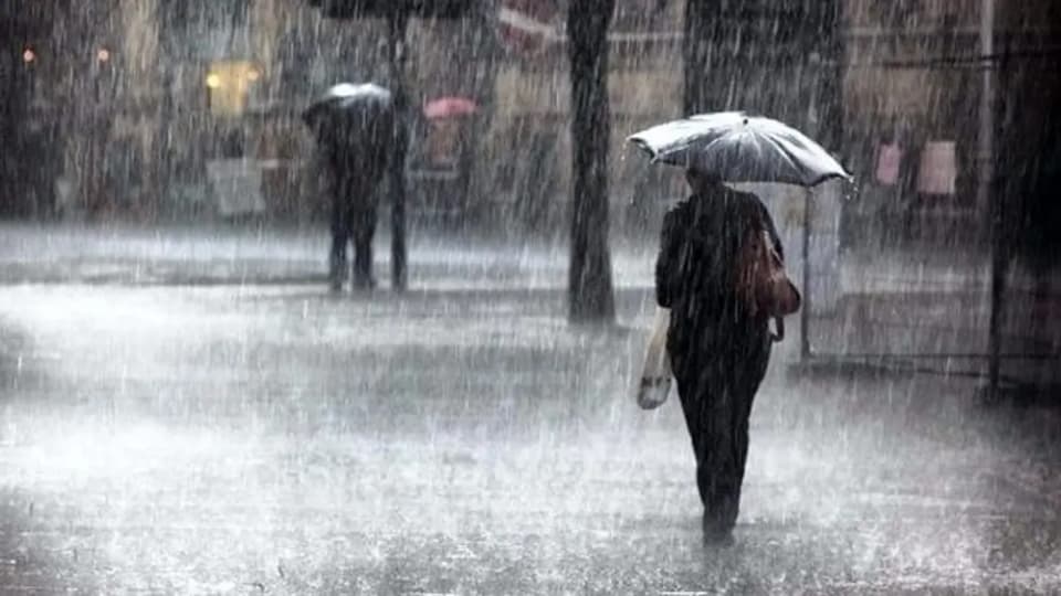
Severe weather is returning to Sardinia, with increasing cloud cover, rain and possible thunderstorms between Wednesday 4 and Thursday 5 November. The areas most at risk are in the east, particularly Ogliastra and Baronie, where locally intense weather and high rainfall totals are possible. An alert has been issued for some areas of the island for Wednesday.
Today, Wednesday 4 November, the day will begin with mostly clear skies. Cloud cover will increase in the afternoon, especially in the east, and showers may be isolated or scattered. Thunderstorms cannot be ruled out from the evening onwards: rainfall could be locally intense between Ogliastra and Baronie, while the risk of precipitation will be lower in the north-west.
The Civil Protection Department has issued an orange alert for hydrogeological risk and a yellow alert for thunderstorms today for the Flumendosa-Flumineddu basins and Gallura. The warning is valid from 6 p.m. to 11:59 p.m. It applies to specific alert zones, not the entire region.
Temperatures are expected to rise, especially in western areas. Winds will be light from the south-east, locally moderate from the east in Gallura. According to iLMeteo estimates, rainfall totals in some areas of eastern Sardinia could reach 40–60 millimetres in 24 hours on Thursday, with local peaks of up to 70–80 millimetres.
On Thursday 5 November, skies will be cloudy or very cloudy, becoming overcast in the north-east. Isolated or scattered precipitation is forecast, generally light, but the possibility of strong thunderstorms will remain in eastern areas, especially between Ogliastra and Baronie, with locally very high rainfall totals. Temperatures will rise further, with a more marked increase in minimum temperatures in central and eastern areas.
Light easterly winds are forecast for Thursday, locally moderate in Gallura. Seas will be rough along the eastern coasts and in the Gulf of Asinara, and slight elsewhere. Forecasts therefore point to greater instability in the eastern part of the island, without affecting all of Sardinia uniformly.
The worsening weather is linked to southerly and south-easterly airflows bringing milder, more humid air towards the island. The most intense weather could be concentrated in limited areas, particularly where the airflows meet the mountains. For an earlier overview of the thunderstorm forecast, the north-west should also be monitored: weather in Sassari is expected to be calmer today, but rain and some thunderstorms are possible from Thursday.