

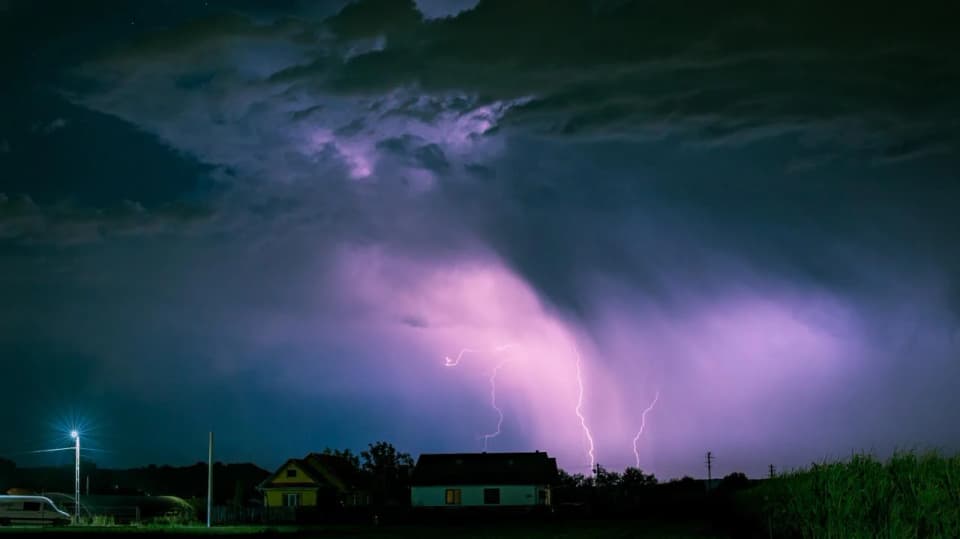
Sardinia is experiencing showers and thunderstorms, with the most intense weather reported on the morning of Tuesday, October 6, in the southwest of the island. Forecasts point to a fresh deterioration from Thursday, October 8, with rain and southerly winds, followed over the weekend by the arrival of the mistral and a drop in temperatures; rough seas are possible in western and northern waters.
According to the update published by 3BMeteo at 10:20, intense thunderstorms were hitting the southwestern sector, particularly the Costa Verde and the Iglesiente, with numerous lightning strikes. Rain and showers were also affecting part of the island’s south, while the weather had eased in central areas. Earlier, rainfall totals of up to 30 millimeters had been recorded in the Nuoro area and 33 in the Sassari area; at dawn, a line of thunderstorms had reached mainly the Oristano area.
Conditions remain changeable following the passage of a low-pressure system coming from Spain. For Wednesday, October 7, forecasts indicate that the weather may ease, although skies are expected to remain mostly cloudy. Meanwhile, updates for the day describe thunderstorms already moving from Sardinia toward the Tyrrhenian coast: Wednesday’s forecast should therefore be viewed in the context of a period that remains unsettled.
An Atlantic weather front is expected to pass through on Thursday, October 8, bringing fresh rain and thunderstorms that could be intense. The front should be accompanied by strong sirocco and southwesterly winds. The deterioration comes as part of a broader shift in the weather, following days with temperatures above seasonal averages. For a local outlook, see also the forecast for Sassari.
Over the weekend, winds will turn to the mistral and temperatures will fall: minimums are expected to range from 10 to 15 degrees, while highs should generally remain between 23 and 25. Isolated daytime showers are possible on Saturday, especially near the hills of central and northern Sardinia. Between Saturday and Sunday, winds could make western and northern waters very rough or high, with a risk of rough seas along the coasts.
The weather front will gradually affect the Italian peninsula too: forecasts cited by La Nuova Sardegna indicate that it will reach the North and the northern Tyrrhenian area as early as Wednesday, followed by the central regions and parts of the South on Thursday. The most intense weather is expected mainly in some areas of central and northern Italy, where rainfall totals could reach or exceed 100–150 millimeters in 48 hours. In Sardinia, the most marked change is expected with the arrival of northerly winds over the weekend.